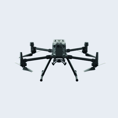
Matrice M300 RTK
Industrial-grade surveying drone with LiDAR and 45MP camera for precise 3D mapping of heritage structures.
Our Services
UK Archiving provides professional aerial drone services for the documentation, inspection, and preservation of historic buildings, heritage sites, and landscapes. Delivered in partnership with Drone Scotland, a CAA-approved commercial drone operator, our services combine advanced aerial technology with heritage expertise to support conservation, research, and digital documentation.
Our Drone Services
Our surveys provide highly detailed orthophotos, 3D models, and topographical data , helping architects, conservators, and heritage organisations make informed decisions while maintaining the integrity of each site. Using advanced drone surveying and photogrammetry, we produce accurate digital records that support conservation planning, condition assessments, and long-term heritage management.
Applications of Drone Surveys
Our drone survey and photogrammetry services support a wide range of professional applications. By delivering precise, geo-referenced mapping and 3D models, we help clients plan, measure, and visualise projects with confidence.
Regular drone surveys enable project teams to track site progress, identify changes, and communicate clearly with stakeholders.
Detailed 3D models provide accurate records of historic structures, supporting conservation, restoration, and digital access.
High-resolution aerial inspections provide a safer and more efficient way to assess roofs, towers, bridges, facades, and other difficult-to-access structures.
We capture high-resolution aerial imagery and survey-grade data using drones equipped with RTK, LiDAR, and advanced camera systems, producing accurate mapping, orthophotos, and 3D models for conservation, inspection and planning.
Drone Photography & video
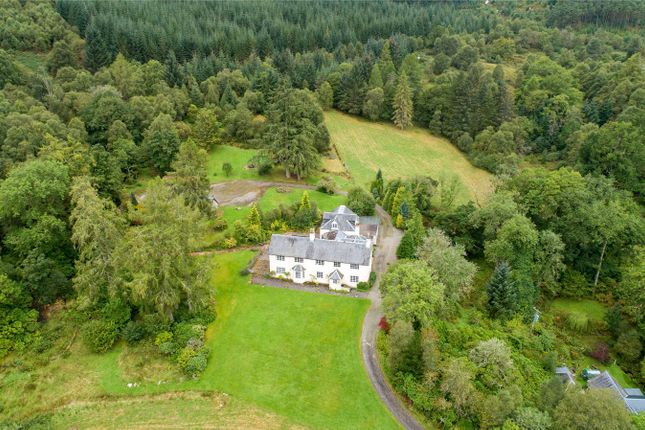
Our aerial photography and video services create detailed visual records of historic buildings and landscapes, supporting conservation projects, interpretation, promotional content, and public engagement. Through precise flight planning and expert image capture, we produce visual content that not only inspires but also supports the documentation, conservation, and preservation of our built heritage.
CAA-approved commercial aerial operations
Photography & videography for heritage, property, and events
High-resolution 5.2K Apple ProRes and 45MP imagery
Fully insured and licensed under the Civil Aviation Authority
Collaborations with film, conservation, and media professionals
Drone Photography & video
Our fleet
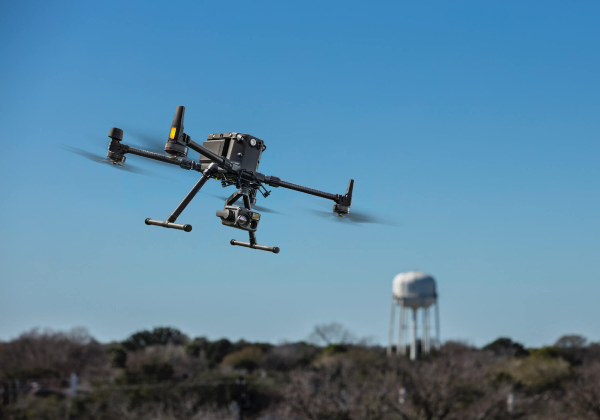
Our diverse fleet is equipped for surveying, inspection, and media capture, ensuring precision, safety, and consistent quality across all heritage and preservation work.
Industrial-grade surveying drone with LiDAR and 45MP camera for precise 3D mapping of heritage structures.
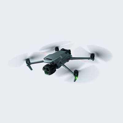
Cinematic aerial visuals in Apple ProRes — perfect for heritage storytelling and promotional content.
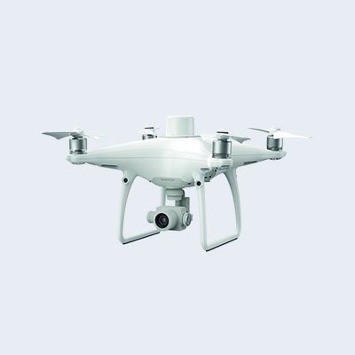
Reliable survey drone capturing distortion-free orthomosaic maps for documenting historic sites.
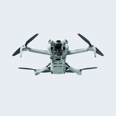
Lightweight 48MP drone ideal for capturing close-up imagery in delicate or restricted heritage areas.
Our specialist aerial services combine advanced drone technology with heritage expertise to create detailed records of important places.