Material type
Maps, Plans & Large-Format Materials
Large-format materials often contain intricate annotations, fine linework, colour information and valuable historical details that deserve to be preserved with the highest level of accuracy.
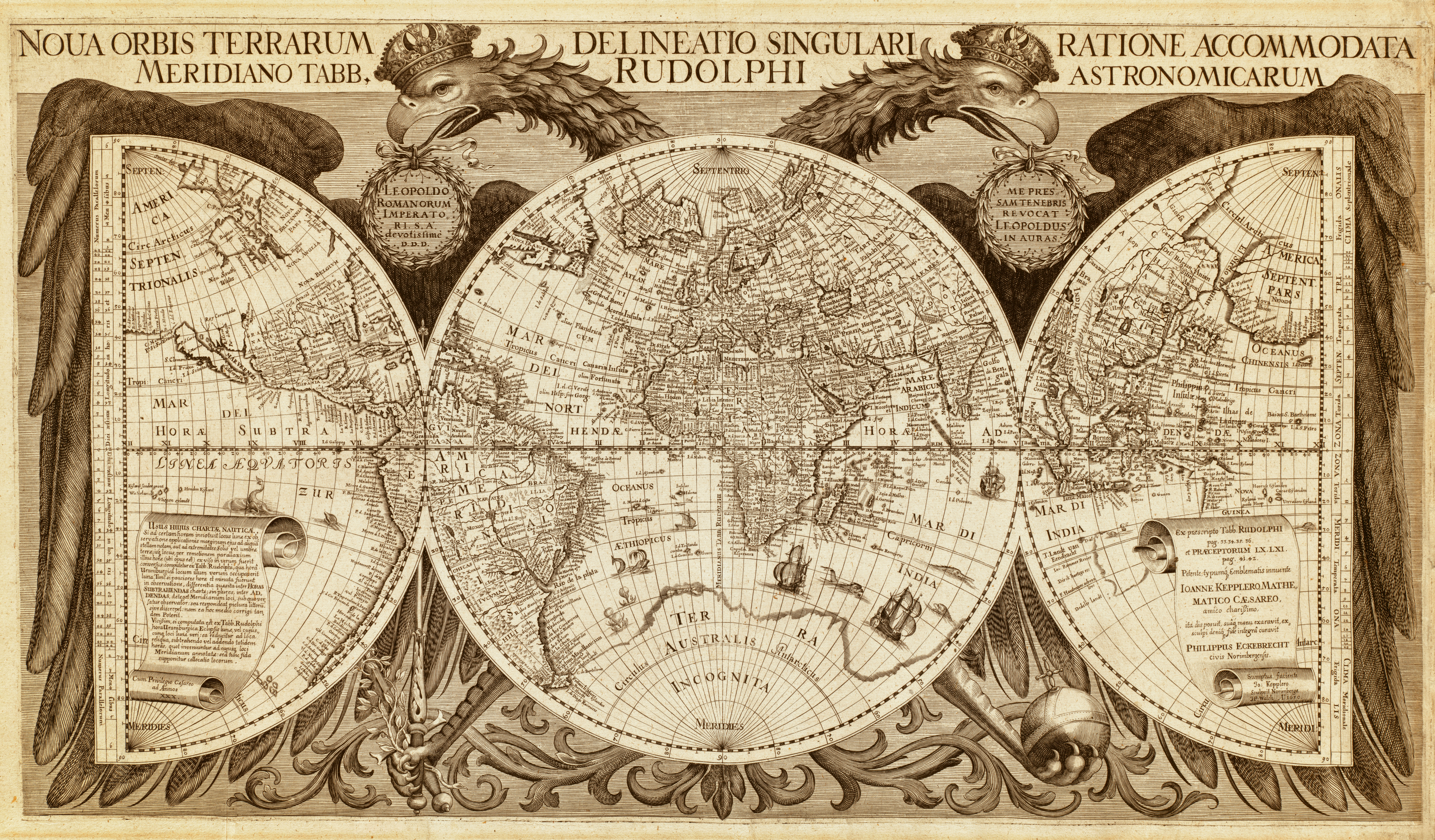
Maps, Plans & Large-Format Material
Challenges
Large-format materials require specialist handling due to their size, condition, and level of detail.
They Exceed Standard Scanning Sizes
Large maps, architectural drawings, and plans require specialist large-format capture equipment.
Fine Details Must Be Preserved
Small annotations, boundary markings, measurements and handwritten notes require high-resolution imaging to remain clear and legible.
Many Items Are Fragile or Aged
Historic maps and plans may have tears, folds, fading, or brittle paper that require careful handling during digitisation.
Maintaining Original Scale Is Essential
For technical drawings, architectural plans, and survey documents, preserving dimensions and proportions is critical for future use.
Maps & Cartographic Collections
Common Large-Format Materials
Architectural Drawings
Building plans, elevations, sections, restoration drawings, and construction documents used for design, conservation, and heritage projects.
Engineering Plans
Technical drawings, infrastructure layouts, manufacturing plans, and detailed schematics requiring accurate reproduction.
Transport & Infrastructure Records
Railway plans, road layouts, bridge drawings, utility maps, and network documentation maintained by public bodies and organisations.
Development & Planning Documents
Site plans, planning applications, land development drawings, and documents used by local authorities, architects, and consultants.
Historic Maps & Surveys
Estate maps, boundary plans, geological surveys, and historical mapping collections used for research, conservation, and land management.
Our Approach
Digitising Maps & Large-Format Documents
At UK Archiving, we use high-resolution camera systems to capture materials up to A0 in size. For items larger than A0, we create seamless composite images by digitally stitching multiple captures together while preserving fine detail and scale.
Our team is trained to handle large-format materials with care throughout the digitisation process, delivering high-quality images tailored to your exact requirements.
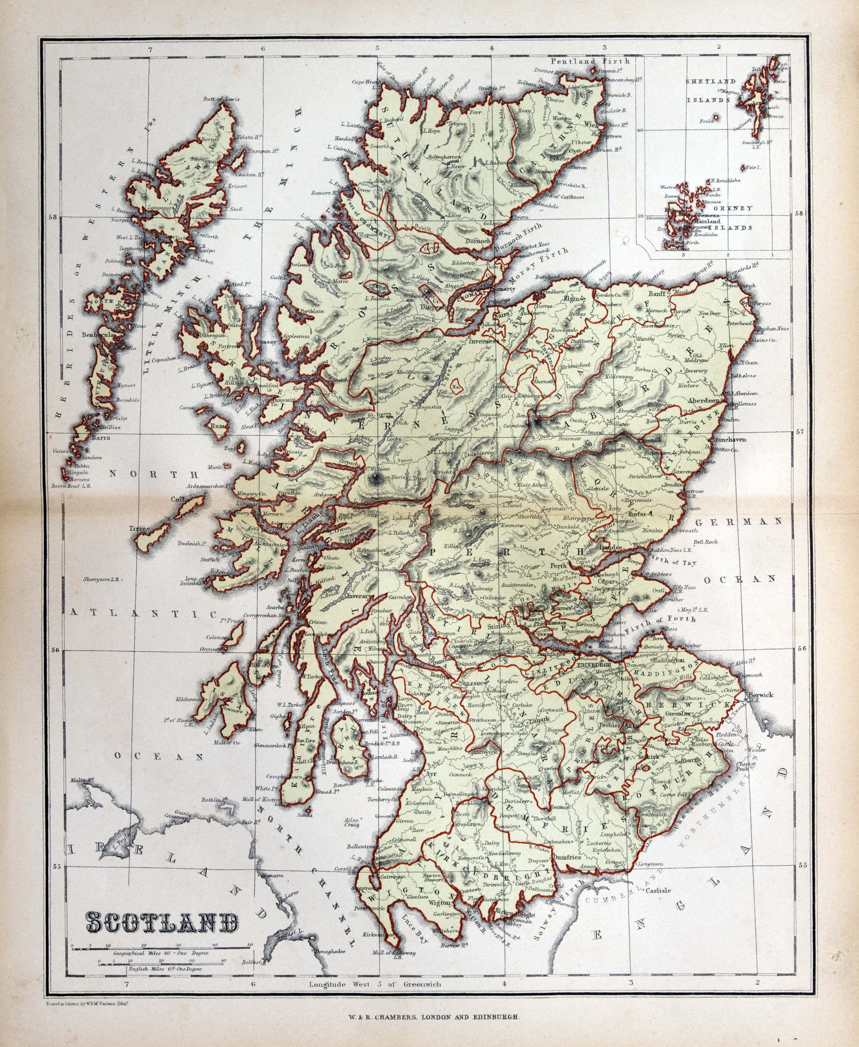
Our Approach
Microfiche for Large-Format Preservation
Before digital storage became widespread, microfiche provided an efficient way to archive large-format materials such as engineering drawings, architectural plans, and maps. A full-size document could be reduced onto film while maintaining the original layout, allowing users to view, reproduce, or enlarge copies when required.
UK Archiving continues to offer microfiche reproduction services for organisations that require this specialist format, helping organisations preserve large-format records in a compact, durable medium. Microfiche can replicate the original layout at a reduced scale while allowing content to be reproduced at its original size or larger when required.
Have a Large Collection That Needs Specialist Digitisation?
From historic maps and architectural plans to technical drawings and oversized archives, UK Archiving has the expertise, specialist equipment, and experience to digitise complex collections safely and accurately.